My Top Outdoor Apps
I did think twice before writing this post. After all, one of the best things about spending time outdoors is getting away from the screens that often seem to dominate modern life. I spend far too much time on the internet and even more time on my phone. As much as I love having a bit of time away from digital distractions, I do think that in some instances technology can bring some benefits to our outdoor adventures.
There are so many apps out there that it can be overwhelming. Here’s a few of my favourites that I use when out and about
Viewranger
Without a doubt, my number one is Viewranger. I use this brilliant free app to track my routes when I’m out and about, and sometimes as a GPS when I’m not entirely sure where I am. It’s a great way to record and share walks. There are so many features that I could write a whole post just about this one app. It’s great to be able to download OS map tiles (you need to pay for this) and it has a huge collection of walks to search and download. I love being able to use it on the tablet, pc and phone and I sometimes use it to plan routes (mainly to check the distance/altitude is within our capabilities!)
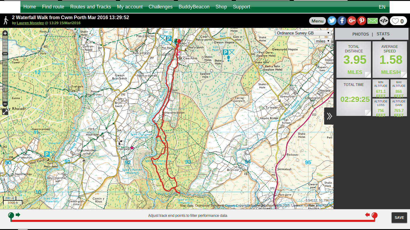
I used Viewranger to record our waterfall walk in Wales earlier this year
Another brilliant feature of Viewranger is the social aspect. You can add tweets and photos to your route, and using BuddyBeacon it’s possible to allow people to follow your progress-great for charity hikes, DofE etc. Although I’ve been using it for a while, I’m sure I still don’t make full use of all of its functions!
OS Maps
I have been a massive fan of Ordnance Survey maps for years. It’s almost a ritual, I choose our next destination and then buy a map to plan some outings. Sometimes, however, it’s useful to have a digital copy. When we went to the Peak District for a couple of days after our wedding, I didn’t take a map with us. We weren’t planning on doing any serious walking and, as we’d been to the area before, I thought we’d be ok, but I soon found that I missed having an OS map to hand. I decided to make use of the 7 day free trial of the premium offering from OS maps. It was so handy to have a map on our tablet to take with us. OS Maps has many similar functions to Viewranger; you can record and plot routes, download maps and search for walks. It’s also handy being able to access via different platforms. The free version is fairly basic and I may well upgrade to premium (£3.99/month or £19.99/year) when we start doing some longer hikes again as it has some great features, such as saving maps offline and National Park trails. I also really like the fact that you now get a digital download when you buy a paper map. Best of both worlds!
Forestry Commission ForestXplorer
This great app has loads of info on local woods and things you can do there. I actually downloaded ForestXplorer to make use of its tree finder function to help Luke identify some trees as part of his job as a garden designer. Despite growing up in the country and my mum being an amazing gardener, my knowledge of trees and plants is sadly lacking. I have this idea that when Finn is a bit older we’ll go on nature walks and I’ll teach him all the different trees and be able to identify leaves like a pro. Well, that isn’t going to happen so this app is just what I need!
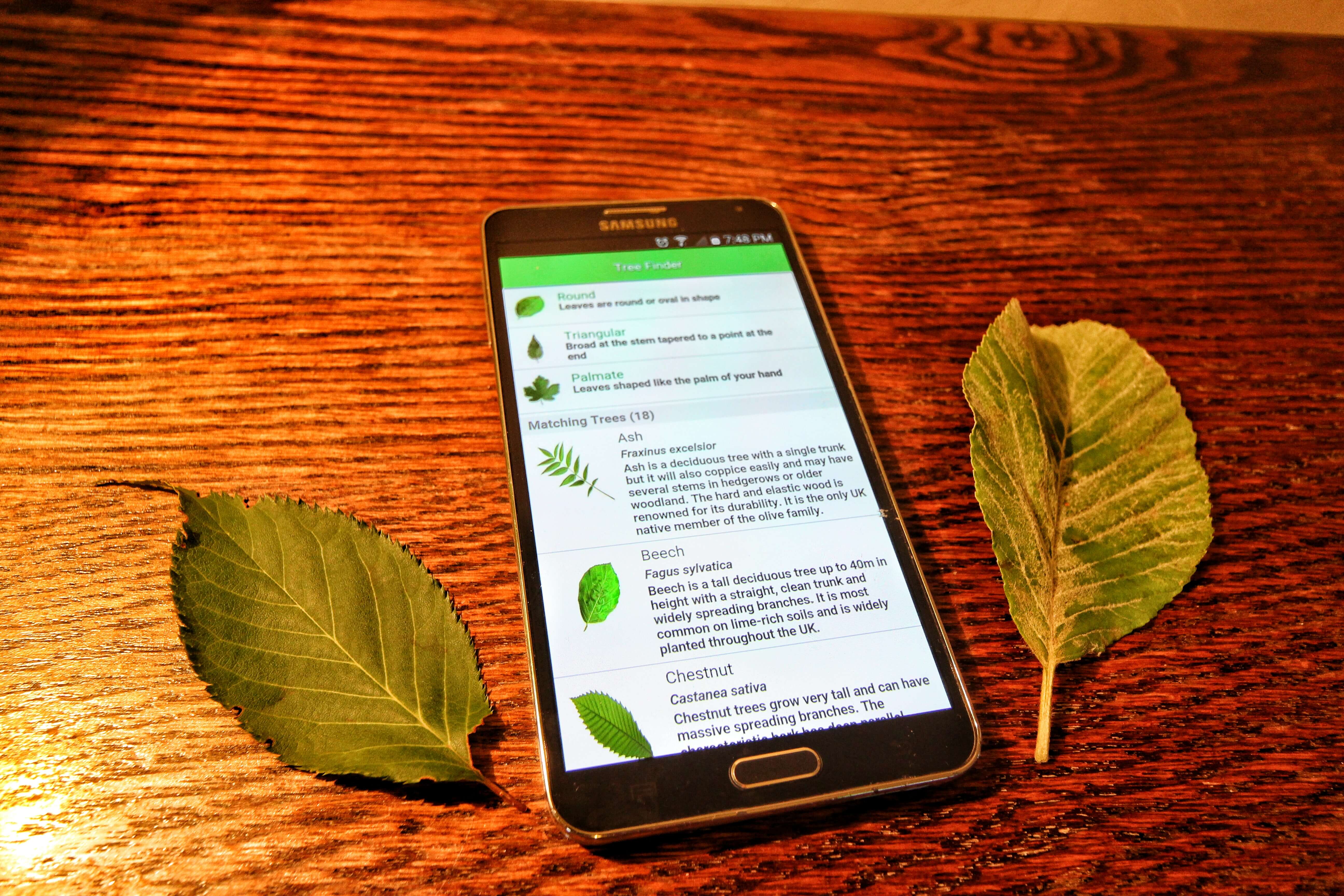
The Forest Xplorer app is really user friendly and makes identifying leaves so easy
I was dubious, but it was really useful and helped me identify a whole range of trees. You can search by leaves, bark, needles or seeds which makes it more accurate. I think this is definitely one that kids would love.
National Trust
I made use of the National Trust app today and it was so helpful. Whenever we visit different parts of the country, I always have a quick look to see if there are any NT properties nearby.
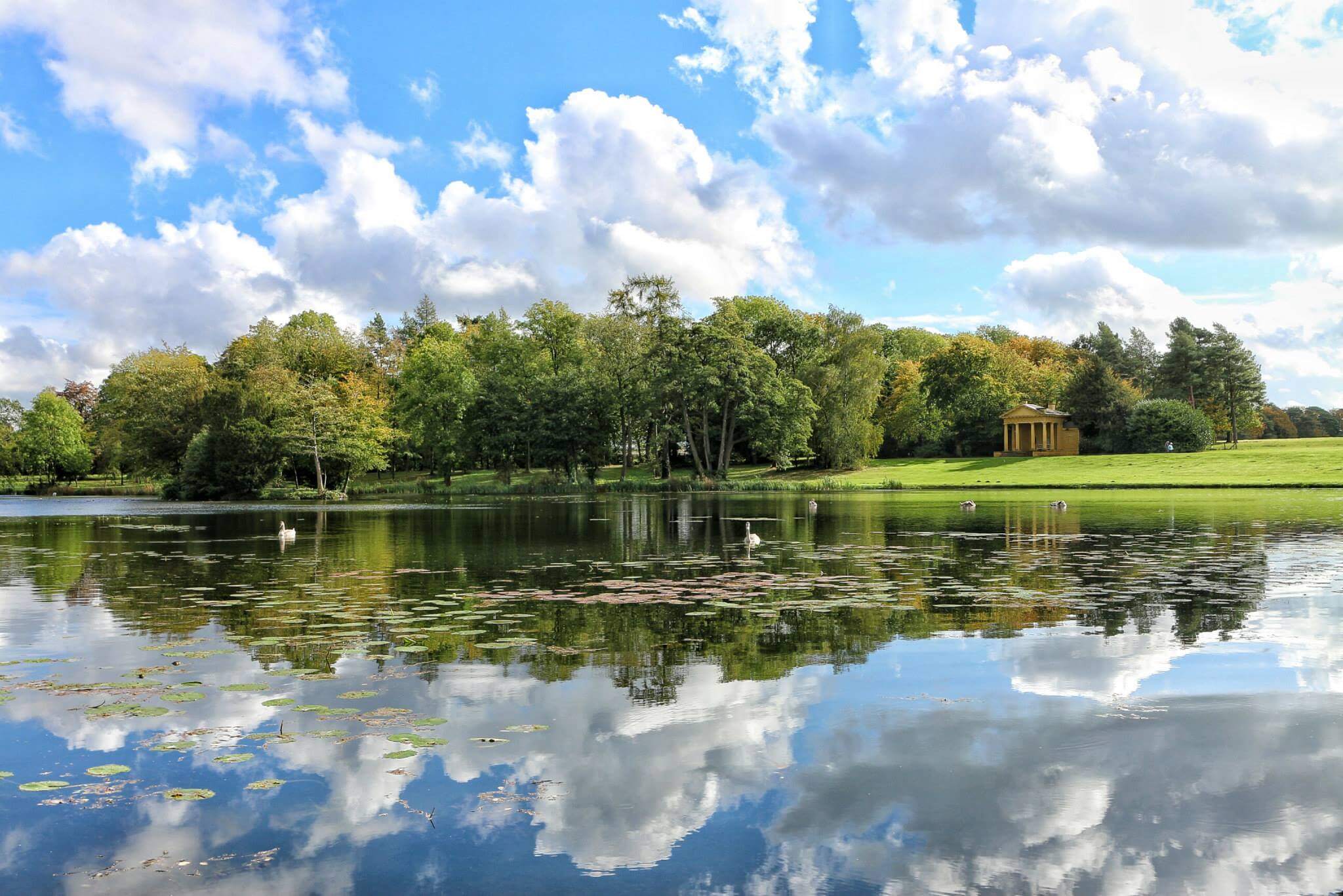
We love visiting new National Trust properties, as well as exploring closer to home. This is Stowe Gardens, an old favourite of ours
With this app, I have all the info at my fingertips. It’s also really helpful when you visit new places. Today, as I arrived at Charlecote Park, the app automatically sprang into life and gave me all the information I needed for an extra enjoyable day out.
AccuWeather
If you’re planning on spending time outside, especially in the UK, it’s worth having a decent weather app. I personally prefer Accuweather, as I like their hourly breakdown, plus it does seem to be a bit more accurate than some others. Having said that, I’ve never found a forecast that is 100% reliable so it’s best to be prepared for every eventuality!
Map My Hike
When I used to run a lot I always used MapMyRun to record my training routes and race times. I then switched to the hiking equivalent before I discovered Viewranger and OS Maps. If your primary aim is improving fitness and/or weight loss then these types of apps do everything you need. Strava is another possibility, it can also help with motivation if your friends are using the same apps. Another benefit of Strava is that, if you are also a runner, you can integrate your Strava and parkrun accounts.
Yorkshire 3 Peaks
At the back of my mind I have this idea that I really want to have a crack at the Yorkshire 3 Peaks. Mainly because I was inspired by this post and I think it is within our abilities, plus we really do need to explore more of Yorkshire. Planning a hike can be an arduous task. Even for short walks I will consult several walking blogs/websites, plus OS maps (online and paper) and whatever other local info I can find. This handy app has everything you need to know in one place. I have already downloaded it and will be using it to plan our 3 peaks adventure (whenever that might be!).
This is just a few of the many outdoor apps available. Which ones do you use? I would love to add to this list.


Oh I like the sound of the ForestXplorer app. Must have a look at your suggestions.
It’s a good one, I did enjoy using it. Let me know if you have any other suggestions!
Love using the ViewRanger app. I use it to plan walks & hikes or just track where we’re going if we’re walking around a city or town (see my blog for some examples). The main reason I use it for, to be honest, is to be able to sync the GPX track with my photos in Lightroom and then have all my photos tagged with the GPS coords of where they were taken. But I find that it is now my go-to app when we plan our next walk/hike.
I did try OS Maps for a while but settled with ViewRanger in the end as it seemed to have everything I needed. So I’m interested in asking, do you use the two apps together and if so, how?
It’s definitely my go to as well. I don’t use them together as such. I use Viewranger first and foremost. I do dip in and out of OS maps, mainly because I’m such an OS fan and like to keep in the loop of what they’re up to! Also, as I still buy paper maps and so use the free mobile download that you get.
This is such a great list of apps! I’ve been using Maps with Me for my walks, just to see where I am but it’s not that detailed. I really need to get offline maps with all the paths. Viewranger sounds great!
I really recommend it, it does everything you need and so easy to use. It’s so handy having OS maps to track your walks, the GPS function is fab too.
I like OS Locate, it’s free and will use GPS to tell you a six figure grid reference of where you are, very handy on top of Kinder Scout.
Yeah, I could have done with that when we did Kinder Scout less than successfully! Glad to day I’m better prepared these days. Will definitely check out OS Locate, thanks for the tip.
This is really useful, I’ll sent it to my brother who lives in Cumbria and loves to walk and run! Thanks! x